Mt Dainichigatake Trekking Report for Mountaineering Beginners
- Tag:
Let’s start climbing! We need to face a steep slope at the very beginning.
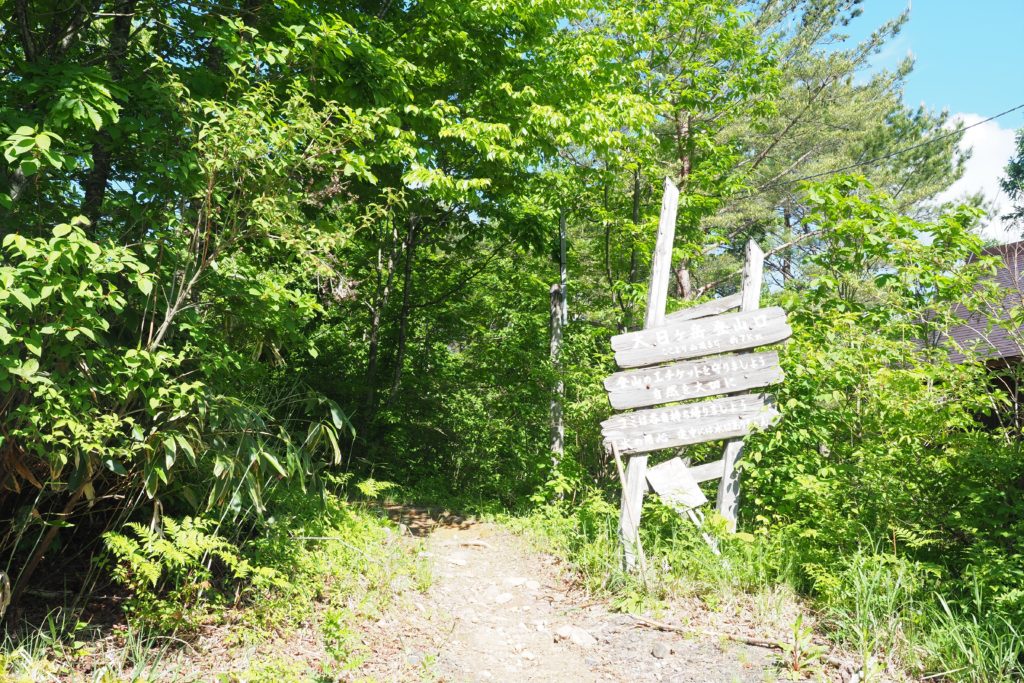
We start climbing at 8:30! The entrance located at altitude of 995m. A large signboard says we are going to start from here!
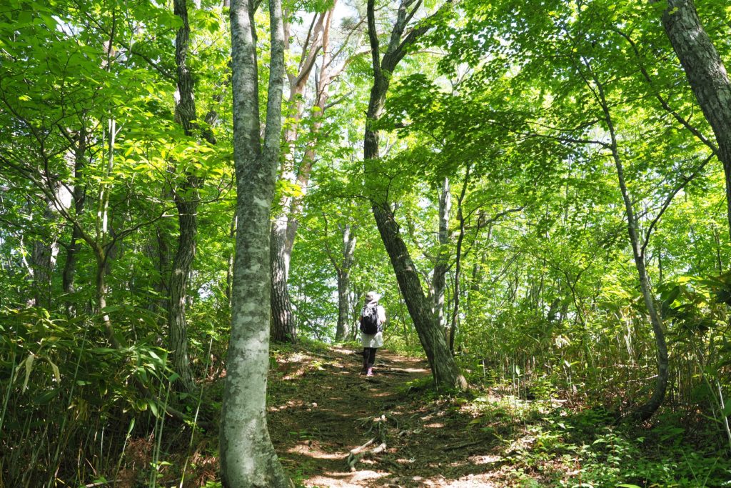
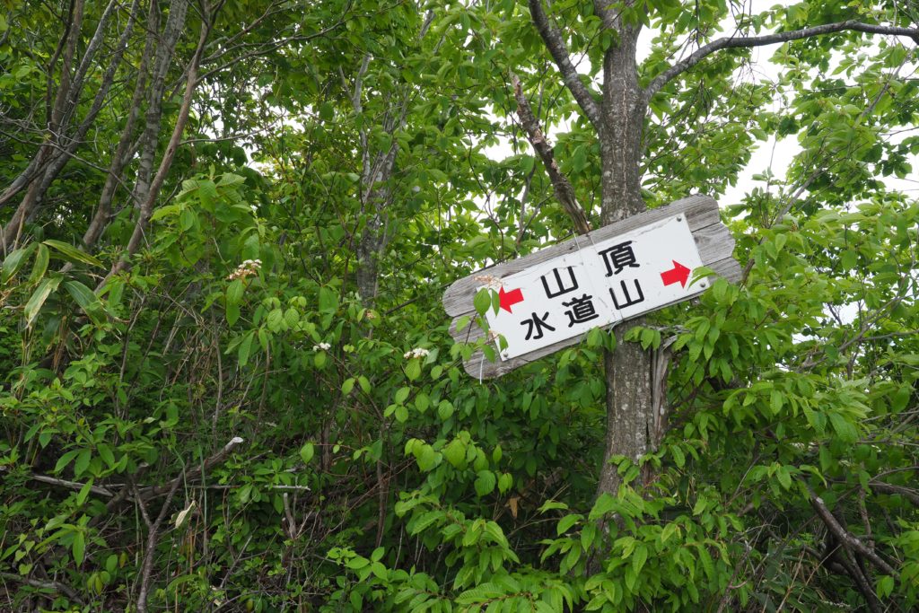
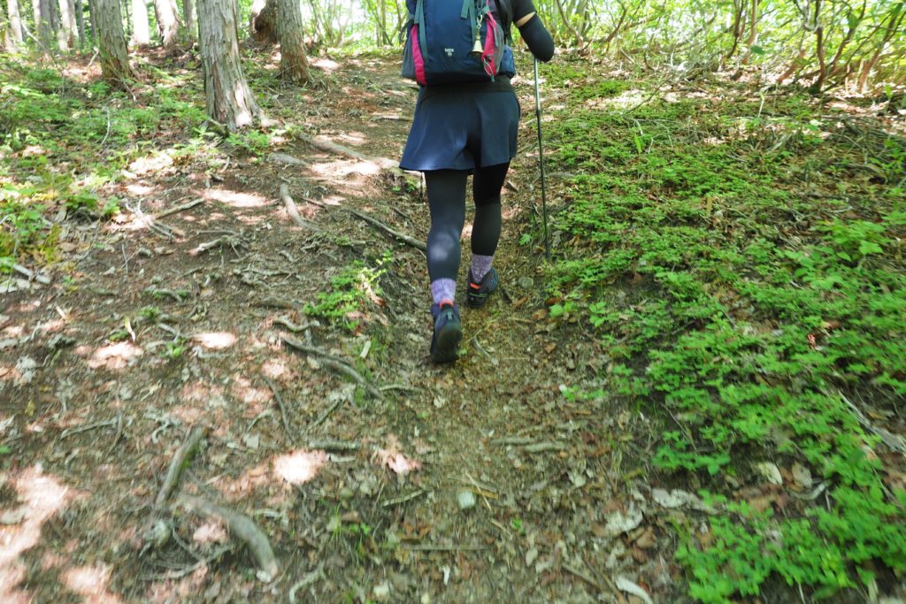
The trail is smooth and easy to climb, seems we will not get lost. We start trekking with a less steep slope. However, we are going to face a steep one after a while. As the altitude is still not so high, we begin to sweat. I take out my trekking pole and continue walking.
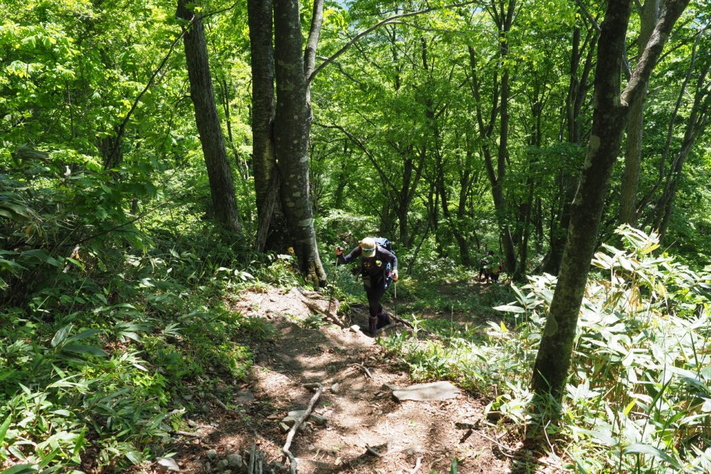
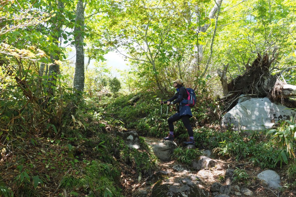
After around 40 minutes at 9:10, we arrive at the steepest part of the trail at altitude of 1200m. If you used to go mountaineering, you may not think it is very steep, but for beginners, it is quite hard! With the help of my trekking pole, I feel much easier!
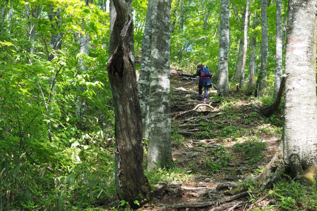
Roots of the trees are growing like stairs which really help me climbing this mountain.
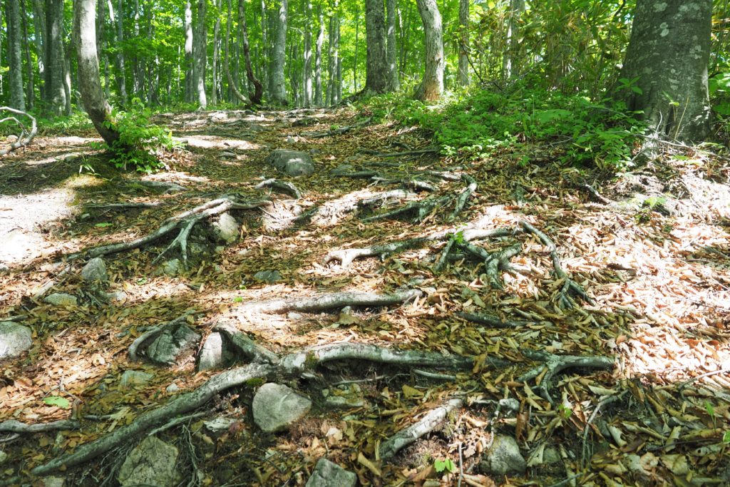
Take a rest at the open space “Ippuku-daira” and head to the observation platform and the peak!
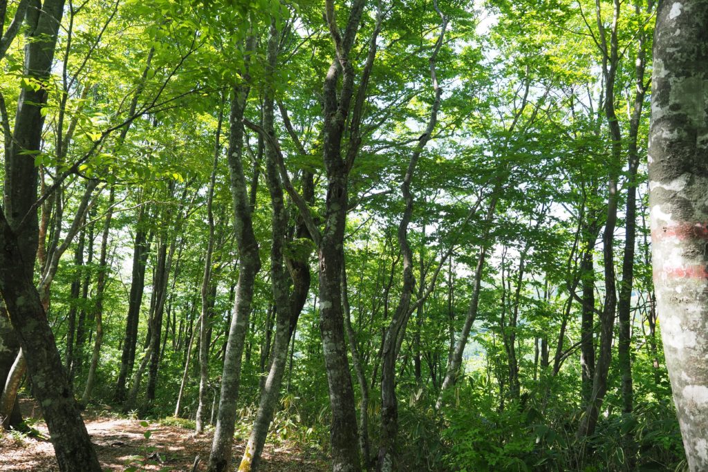
After climbing a steep slope, the trail returns to flat and easy to climb. We can enjoy walking through the woods! Seeing the fresh greenery and hearing the birds sing is very comfortable.
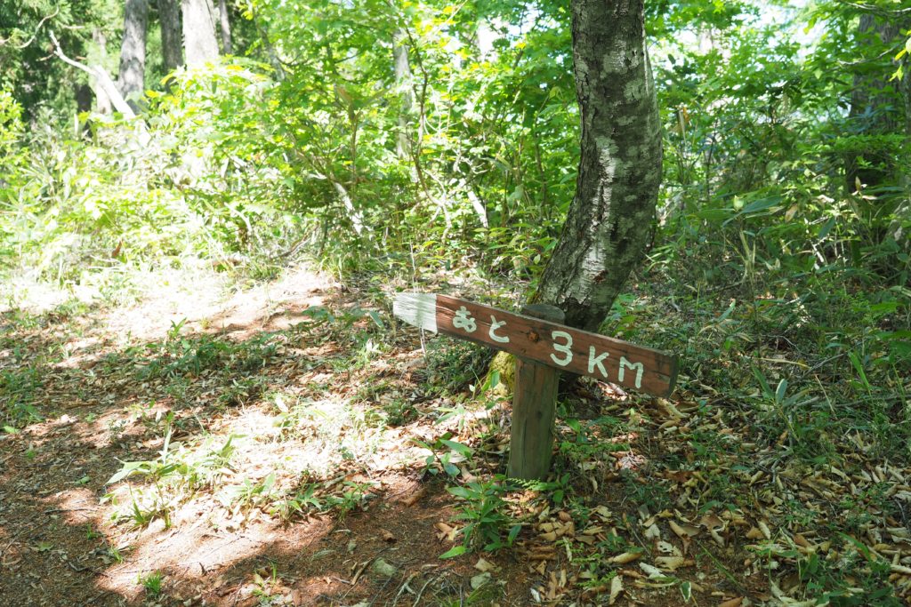
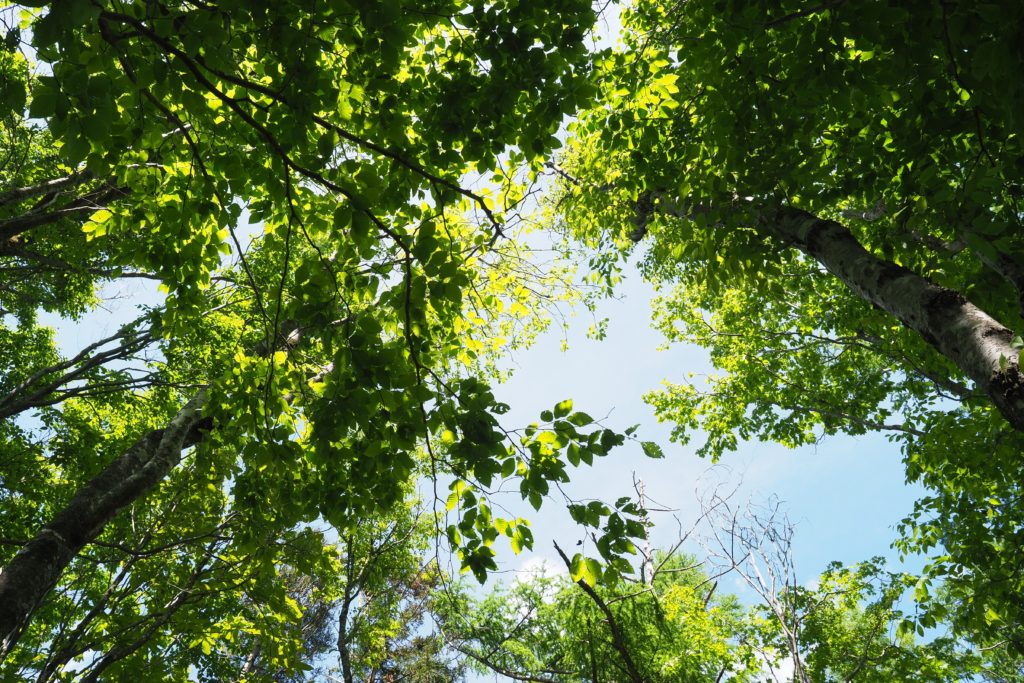
When we arrive at the signboard saying “3km left”, it means we still have halfway to go. The sky we see through the trees is so blue and clear. Let’s go and finish it!
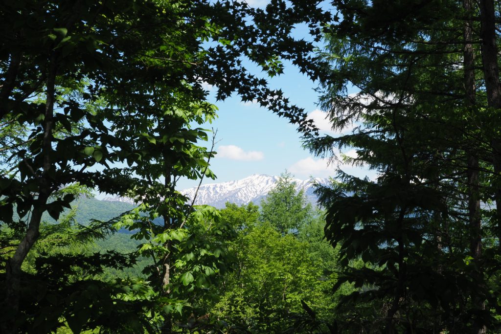
Between the trees, we can see Mt Hakusan! The mountain covering with snow is so beautiful. It gives us a sign of relief.
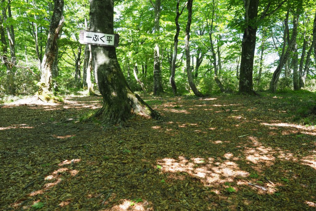
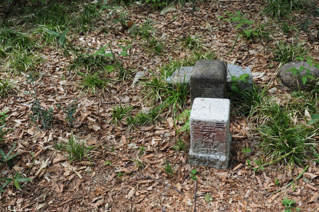
We arrive at the “Ippuku-daira” with altitude of 1356m at 10am. It is an open space surrounded by beeches which is very suitable for resting. As climbing mountain spends lots of energy, resting is very important. Drink some water, eat some snacks and let our feet take some rest. It is the stone of triangulation marker in the photo. This stone is placed to measure the position of the mountain. They are usually placed on the peak. Some people love to find this kind of stone while climbing mountains.
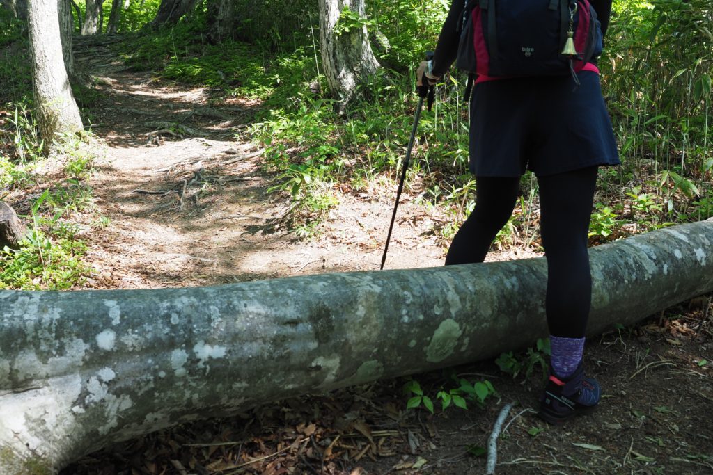
After resting, we start to head to the peak again. We climb steep slopes and walk flat trails. Large trees are lying down. We sometimes stop and watch this beautiful scenery while walking.
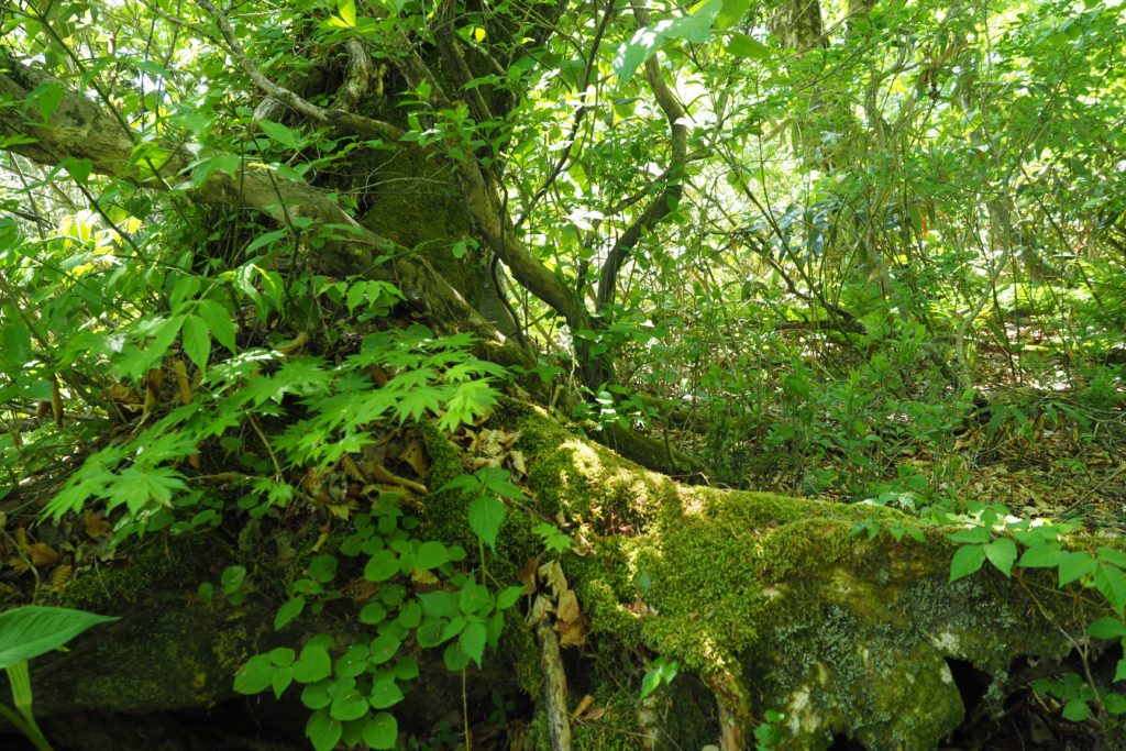
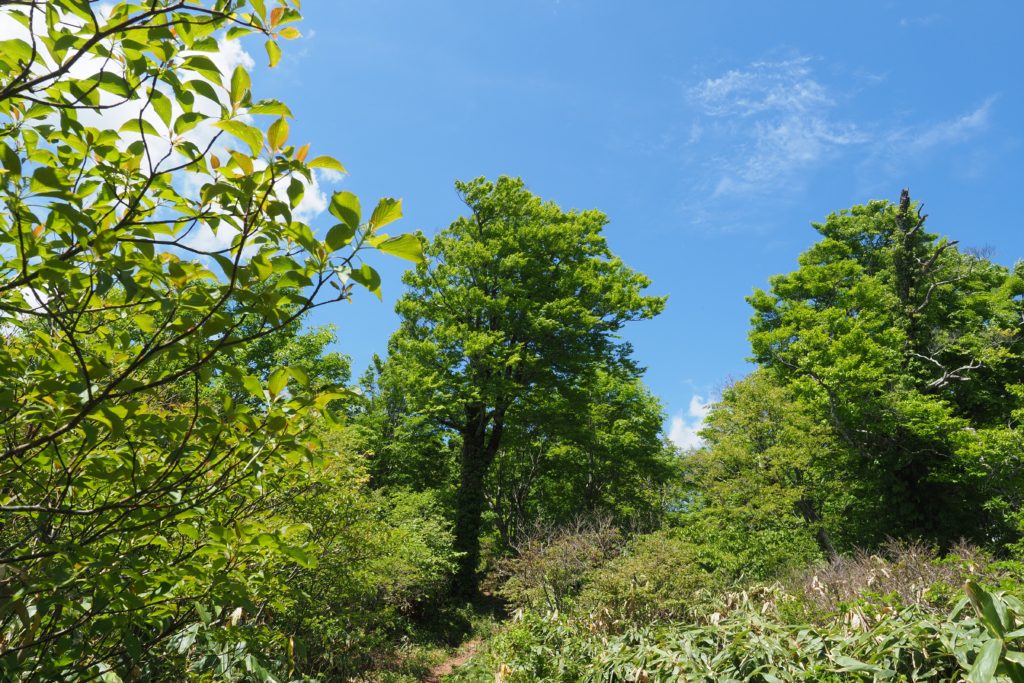
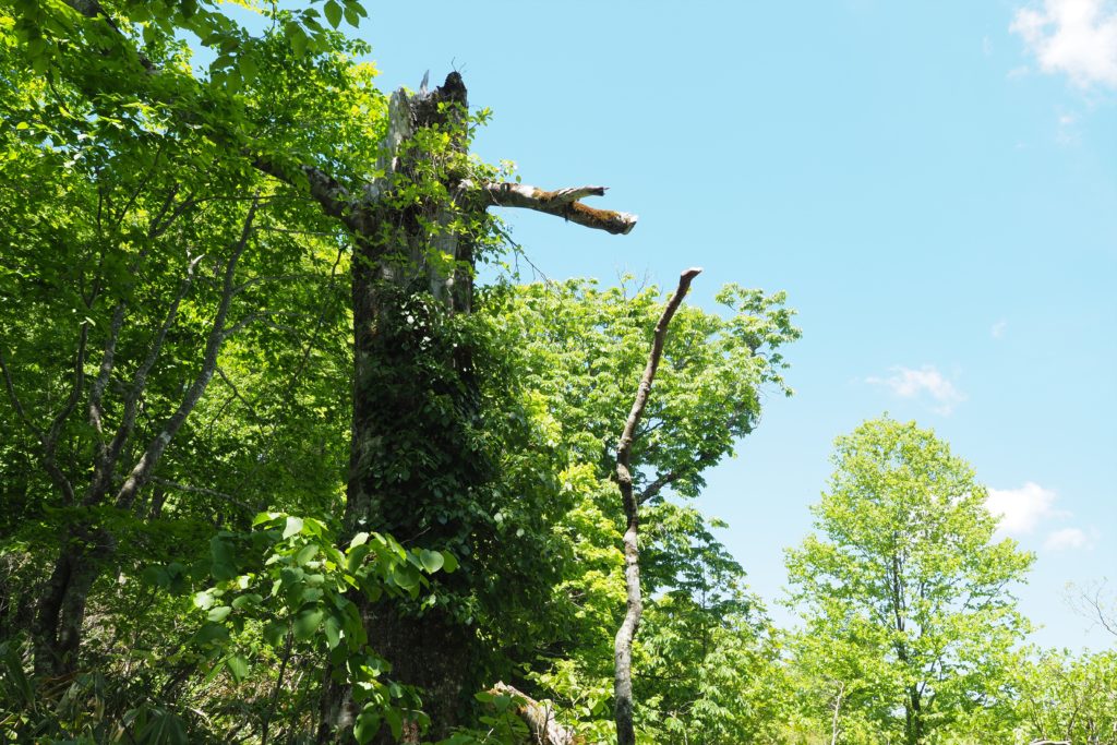
A large and tall beech tree almost touches the sky shows us the power of nature.
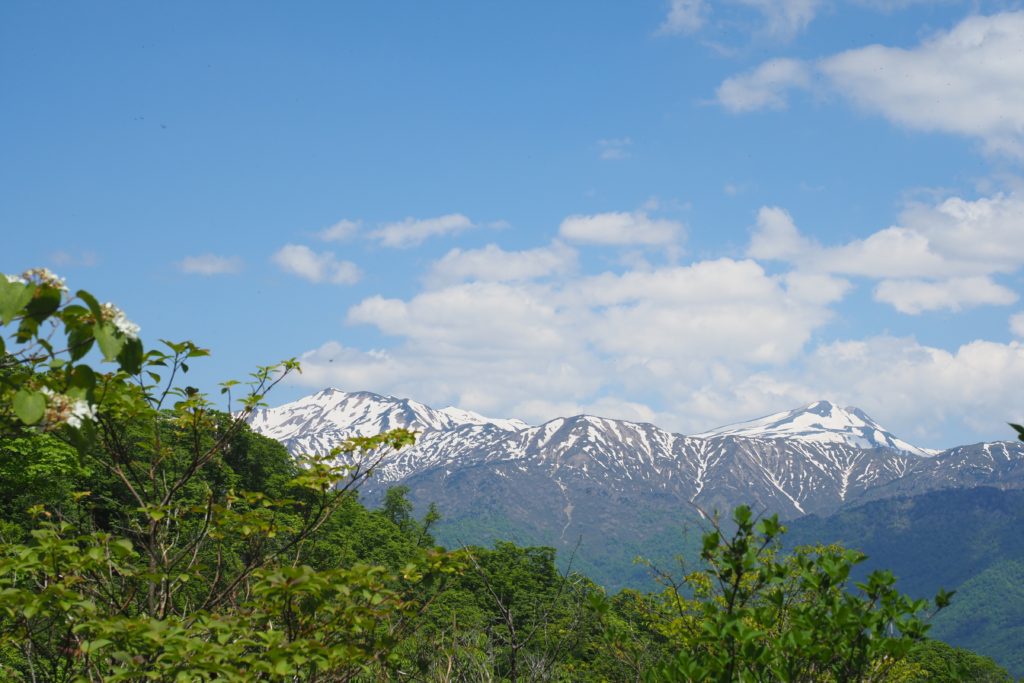
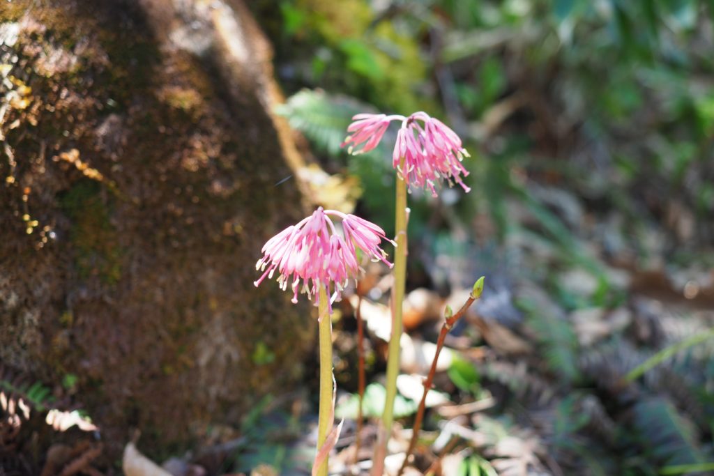
The sky is closer and closer to us which means we are climbing higher and higher. At 10:30, we can see Mt Hakusan more clearly. Although I feel quite tired and my feet hurt, I am healed by the wonderful scenery here. A small Japanese hyacinth by the path side is in bloom. It makes me forget all the troubles in real life. Seeing the beauty of nature is also one of the attractiveness of mountaineering.
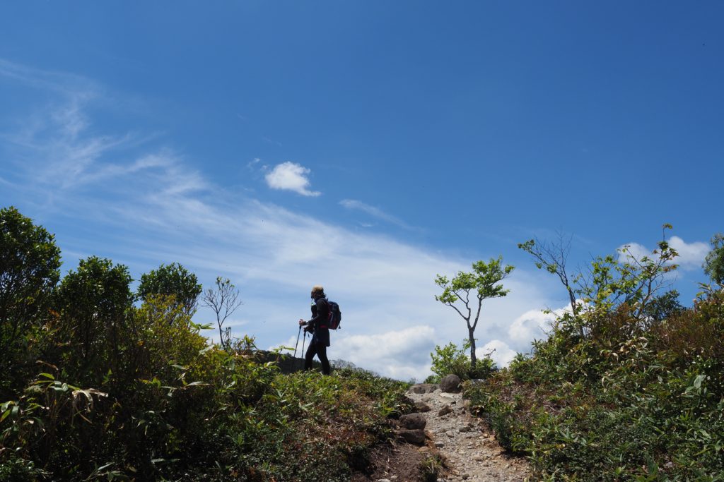
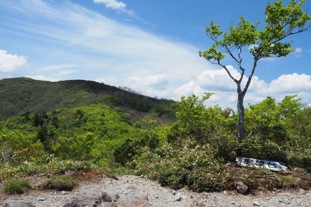
We finally arrive at the observation platform at 11:10 after walking for 2 hours and 40 minutes! The altitude here is 1580m, you can see an amazing grand scenery from here. It is so refreshing that makes you feel here is the peak.
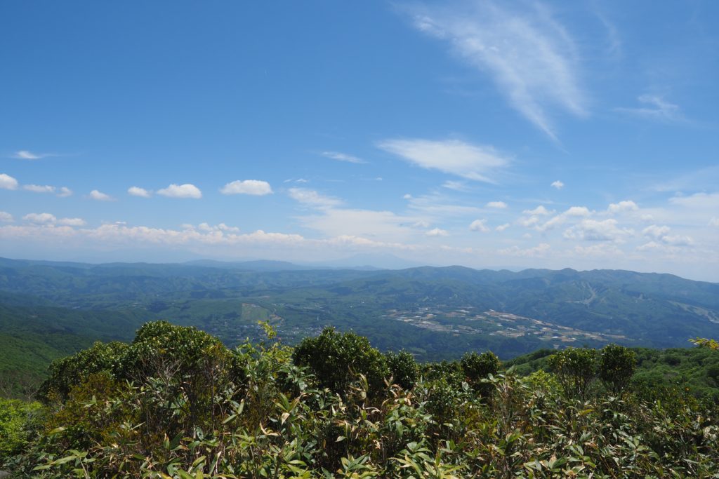
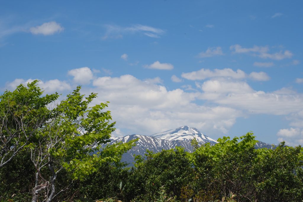
You can see the Mt Hakusan, Mt Ontakesan, Mt Norikuradake. Takasu Snow Park and Hirugano-kogen is underneath your feet. The peak of Mt Dainichigatake is just in front of us. Just one more step! The goal is very near to us. Let’s go!
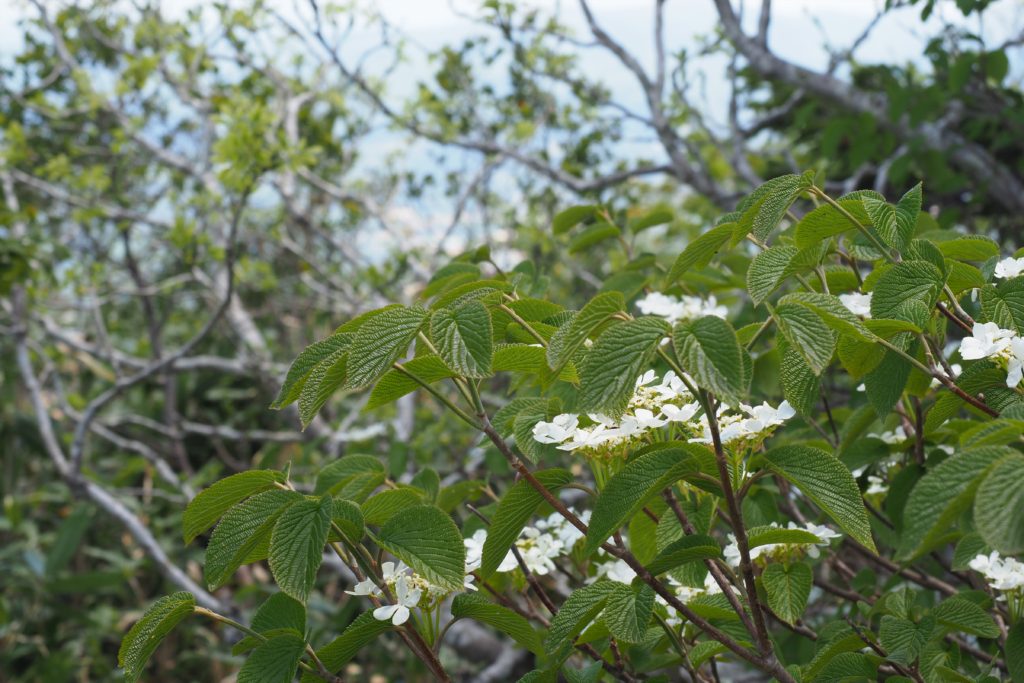
From the platform to the peak, lots of white hydrangea are blooming.
About TABITABI Gujo

TABITABI Gujo editorial
TABITABI Gujo is a general media site for sightseeing in Gujo introducing attractive tourist spots in Gujo with a slogan of “Gujo, a place you want to visit many many times.” While knowing more about Gujo, we continue providing information on travel suggestions during each season in different areas, as well as the latest information of Gujo-shi.

